L.A. Walks: Hike for the views on Angeles Crest Highway
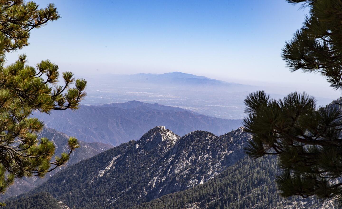
Angeles Crest Highway is one of Southern California’s best motoring roads, with high elevations and huge vistas.
(Brian van der Brug / Los Angeles Times)
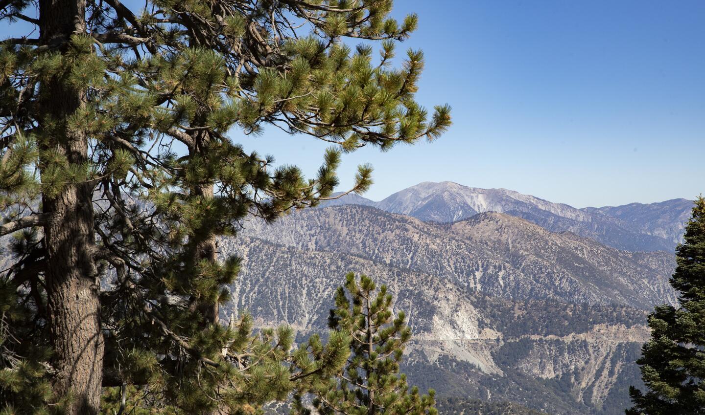
The Mt. Waterman Trail, starting at Angeles Crest Highway mile marker 58.02, takes you to the top of the Mt. Waterman ski area.
(Brian van der Brug / Los Angeles Times)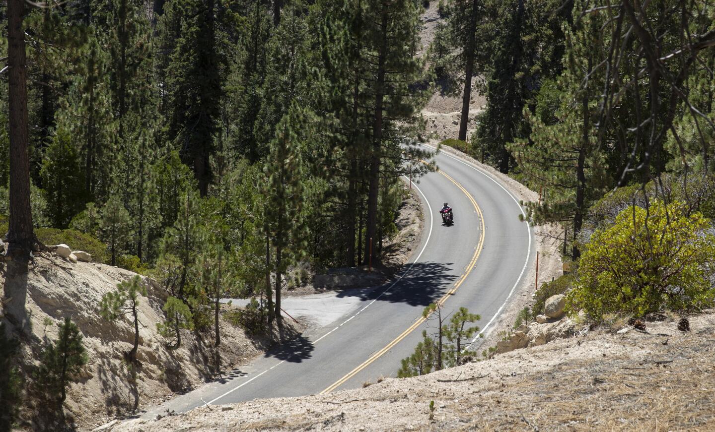
Angeles Crest Highway can make for a fun and breathtaking road trip.
(Brian van der Brug / Los Angeles Times)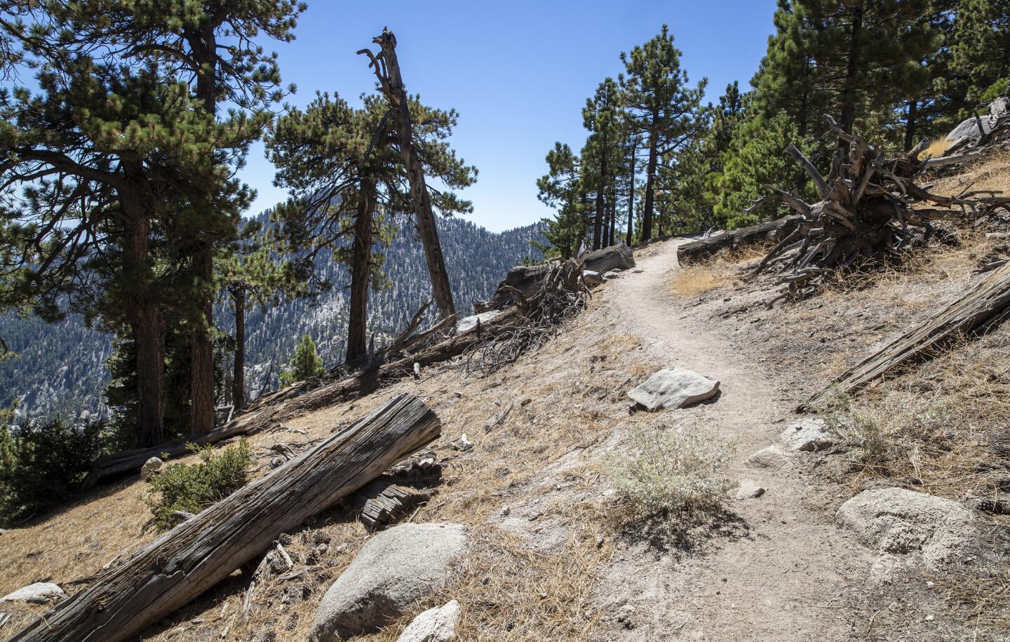
A hike on the Mt. Waterman Trail is about seven miles round trip.
(Brian van der Brug / Los Angeles Times)Advertisement
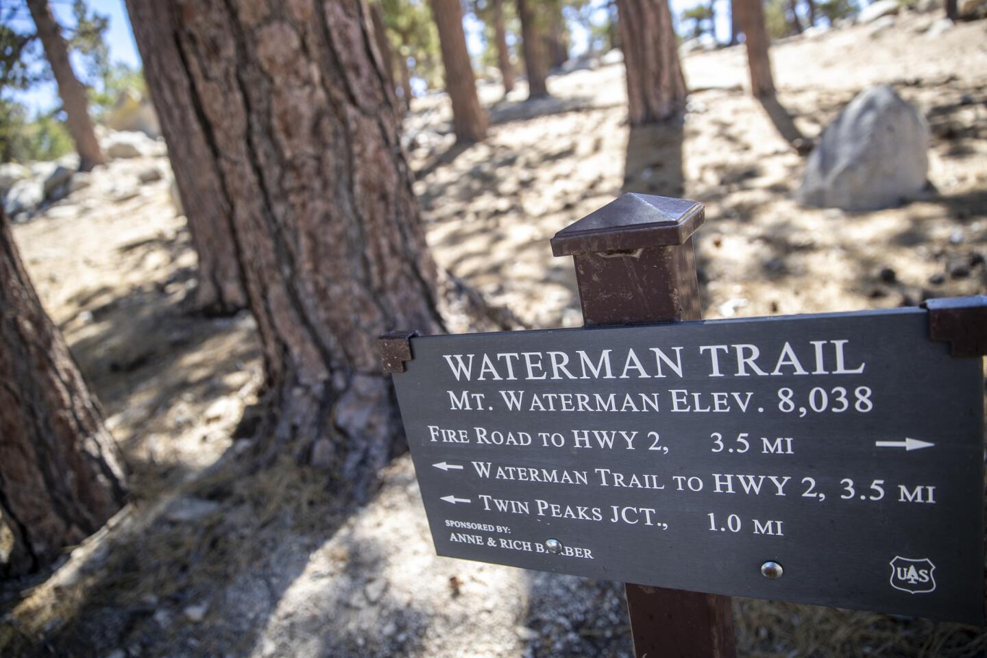
A sign displays the stats for the Waterman Trail, with an elevation of 8,038 feet.
(Brian van der Brug / Los Angeles Times)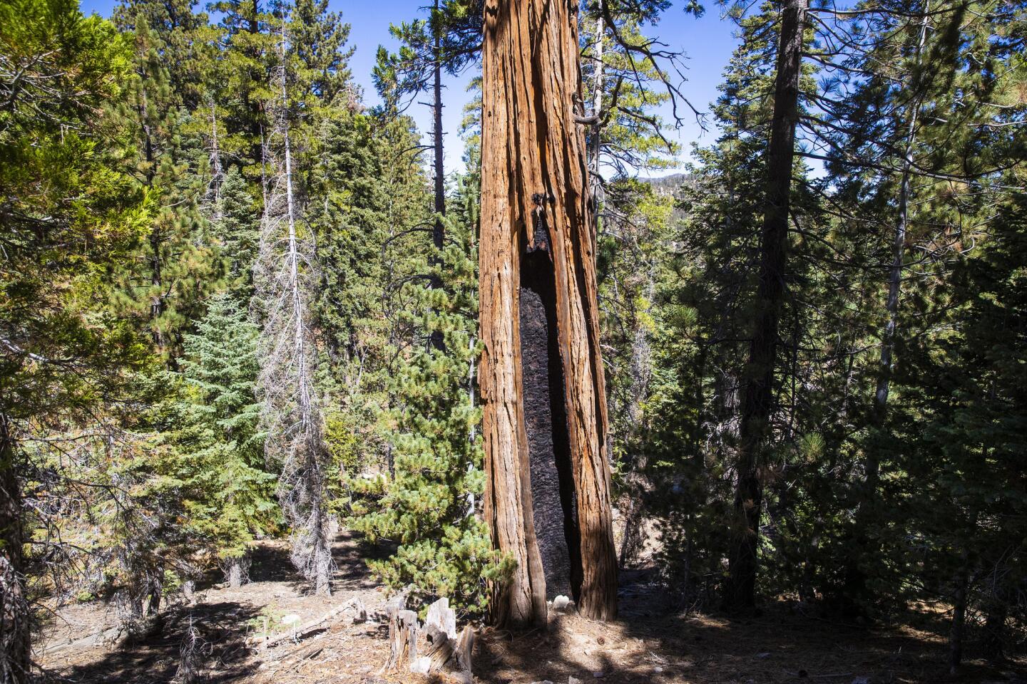
A fire-scarred tree still stands tall in the Angeles National Forest.
(Brian van der Brug / Los Angeles Times)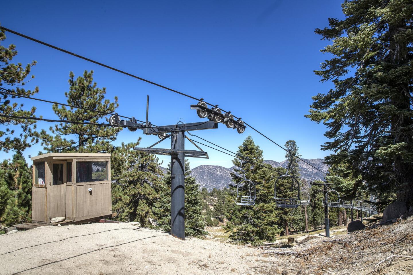
The Waterman Trail leads to the Mt. Waterman Ski Area.
(Brian van der Brug / Los Angeles Times)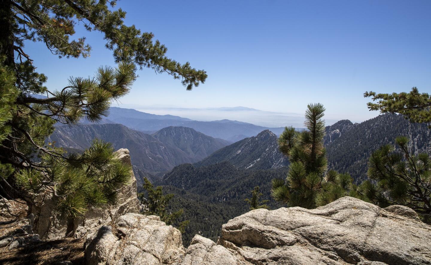
A hike on the Waterman Trail features a series of switchbacks and a slow rise through pine, cedar and manzanita trees.
(Brian van der Brug / Los Angeles Times)Advertisement

Ferns are part of the diverse vegetation at Angeles National Forest.
(Brian van der Brug / Los Angeles Times)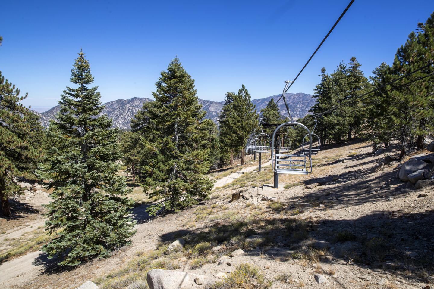
Explore the Mt. Waterman ski area at the top of the Waterman Trail.
(Brian van der Brug / Los Angeles Times)
Moss covers a tree on the Waterman Trail.
(Brian van der Brug / Los Angeles Times)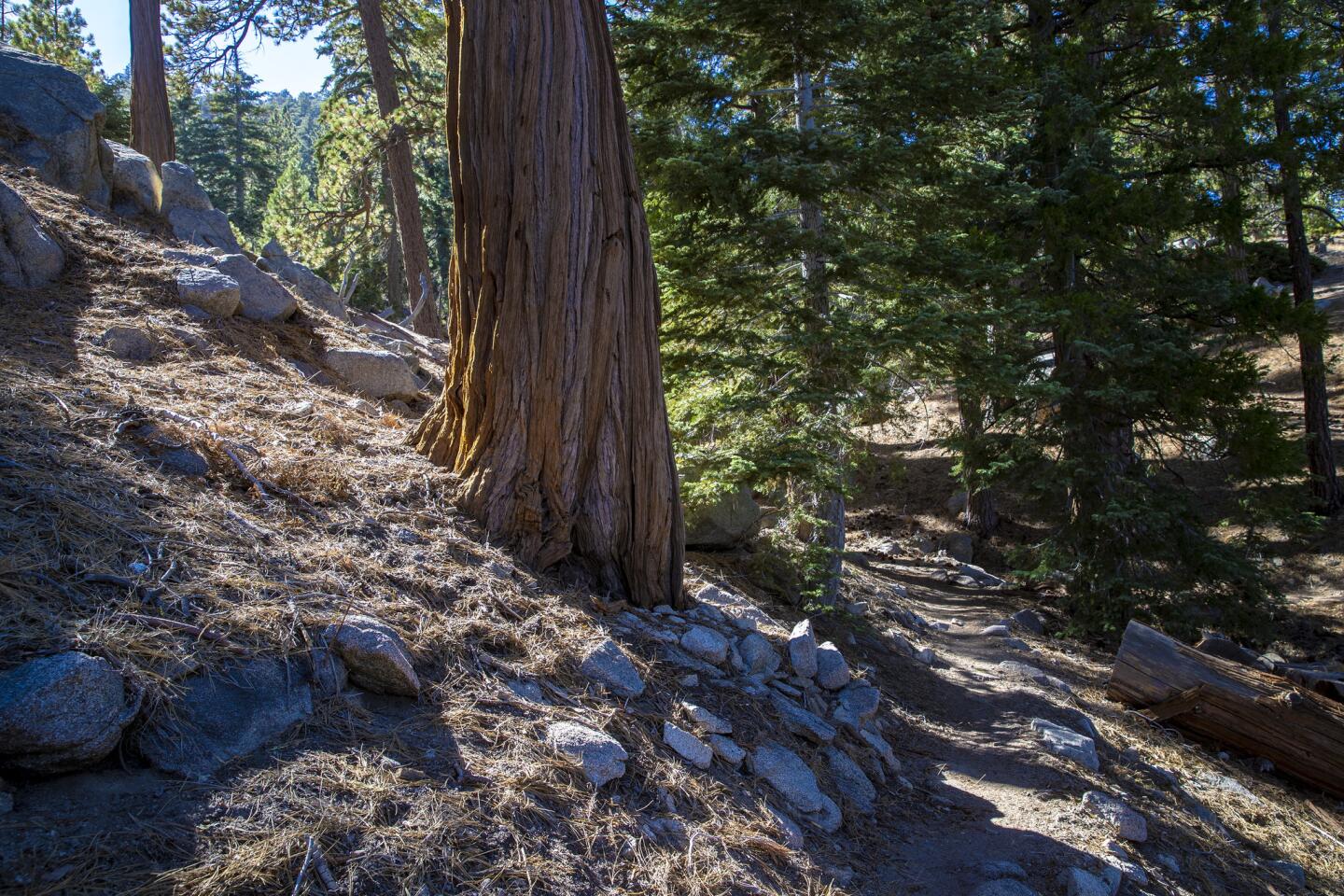
The Waterman Trail features rugged terrain. Be sure to wear good shoes, use sunscreen and bring plenty of water, and remember that hiking at altitude requires a little more effort than walking at sea level.
(Brian van der Brug / Los Angeles Times)


